


Walks to do in Putaruru
Te Waihou Walkway
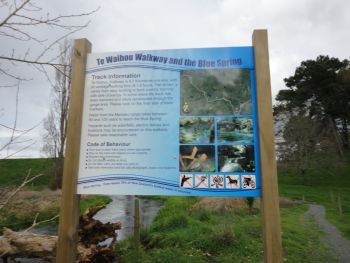 Time: 1 hr 30 min one way
It was a journeying place of King Te Wherowhero Tawhiao, the second Maori King of New Zealand, as it provided him with his main travelling route. The river gave him food and the flax was used for many purposes. Also, Kahupeka, a Tainui tupuna, set off with her son shortly after her husband's death to wander around the Central North Island. On her travels, the Upper Waihou River was one of the main rivers that she and her son crossed while travelling from Pirongia to Te Aroha, and again from Te Aroha to Whakamaru.
Moving on to later years, the Edmeades family settled and began to farm the land along the Upper Waihou River in 1938. At this stage the river area was heavily covered with fern and ti tree, which was eventually cleared. During these early days, war trenches were dug along the Upper Waihou River as a result of the war scare, but were covered in without ever being used.
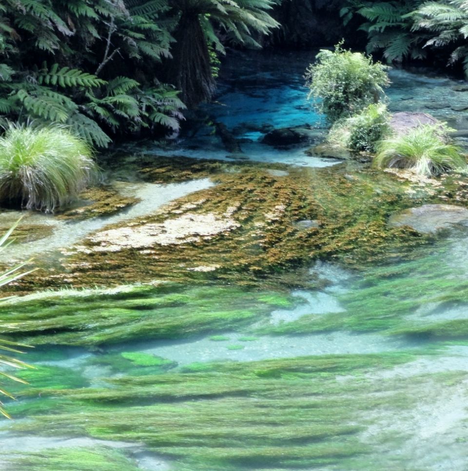
The Waihou Stream is totally spring fed. Water from the Mamaku Plateau takes anywhere from 50-100 years to reach the Blue Spring. Water flows from the spring at a rate of 42 cubic metres per minute (9240 gallons per minute). The water temperature of the Blue Spring is a constant 11 degrees celsius throughout the year.
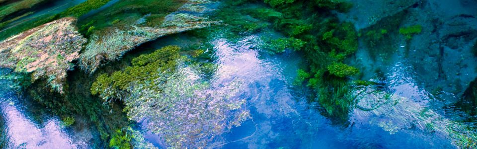
The reason for the blue colour (and high visual clarity) of the Waihou River and its spring source is the high optical purity of the water. Pure water is intrinsically blue in hue because it absorbs red light leaving only blue and (some) green light to be transmitted to the observer's eye. Pure natural waters are blue to blue-green in colour because they lack light absorbing constituents and particles. Both particles and light-absorbing matter are efficiently removed during the long settlement time of spring water while in aquifers.
Jim Barnett Reserve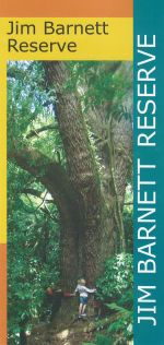
The history
At one time, this land was covered in dense forest as far as the eye could see. Then, in 186 AD, the volcanic crater we now call Lake Taupo erupted violently sending out a wave of superheated air and ash that flattened almost everything in its path. The landscape was left burnt and barren in all but a few sheltered spots.
At Waotu, a low hill diverted the destruction and a narrow strip of bush was left intact. It stood alone in a sea of regenerating tussock and shrubs until the arrival of the Maori people, who named the forest Te Waotu tahi nga rakau. Translated this means: the tall forest that stood by itself.
The area was soon densely populated, at first by Ngati Kahupungapunga and then, from the 16th century, by Ngati Raukawa. However, the things that made Waotu popular for the Maori people - the resources of the forest and the nearness of the mighty Waikato also attracted European settlers. By the end of the 19th century much of the shrub land had been cleared for farms and logging had begun in Waotu bush, as it was now known.
Sadly, about 90% (900ha) of Waotu Bush was gone by the 1920s. Valuable timber trees like totara and rimu were cut down, loaded onto wagons and pulled out by horses or bullocks along purpose-built tramways. Today only fragments remain. The largest of these is made up of the Jim Barnett Reserve and an adjoining block of covenanted land.
The Reserve was purchased from the Barnett family in 1992. It is now managed by a committee with representatives from Forest and Bird, Putaruru Rotary, Putaruru Walking Group, the South Waikato District Council and the Waotu community.
The walking tracks
Two tracks meander through the Jim Barnett Reserve. Both tracks are easy walking with a few short, steep bits. The Main track takes about 30 minutes to walk and the Totara track a further 15 minutes. The Main track is metalled and easy underfoot, while the Totara Track is narrower and rougher, but still negotiable for people of most fitness levels.
Camping area
An area has been cleared away as a camping site which is equipped with a tap and a toilet.
Waikato River Trails
Providing 103km of cycling and walking trails along New Zealand's longest river, the Mighty Waikato, the trail provides some of New Zealand's most stunning views and spectacular scenery.
Cycle or walk just part of one section or go the distance from Atiamuri to the southern end of Lake Karapiro, taking in five hydro lakes, five hydro dams and a number of small towns and villages.
For further information go to www.waikatorivertrails.co.nz.
Putaruru's Pavement Art Trail
The Mosaic Art Project was started in February 1998 to encourage foot traffic around our town and to link the two distinct CBD areas separated by railway tracks.
Call into the Putaruru I SIte and pick up the Trail map and enjoy following the mosaic trail.
Arapuni Swing Bridge
The famous suspension bridge draws tourists all year round, who enjoy the thrill of walking high above the Waikato River.
The bridge was erected in 1925, is suspended 54 meters above the power station and is 152 meters long and has a slope of 8 meters.
Sanctuary Mountain - Maungatautari
Step through the pest-proof gate into another world.....
Sanctuary Mountain, Maungatautari, is a mainland ecological island located 26kms from Putaruru.
Take a guided tour both during the day or at night, look and listen for native birds as well as other flora and fauna.
For a small fee wander through the Southern Enclosure at your leisure, a great day out for all the family.